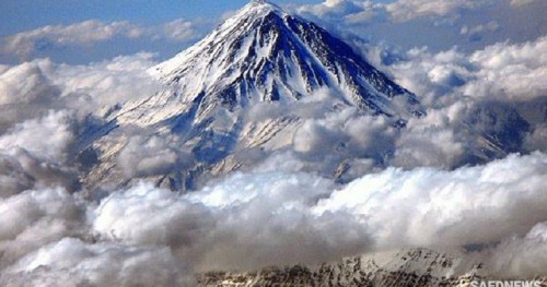
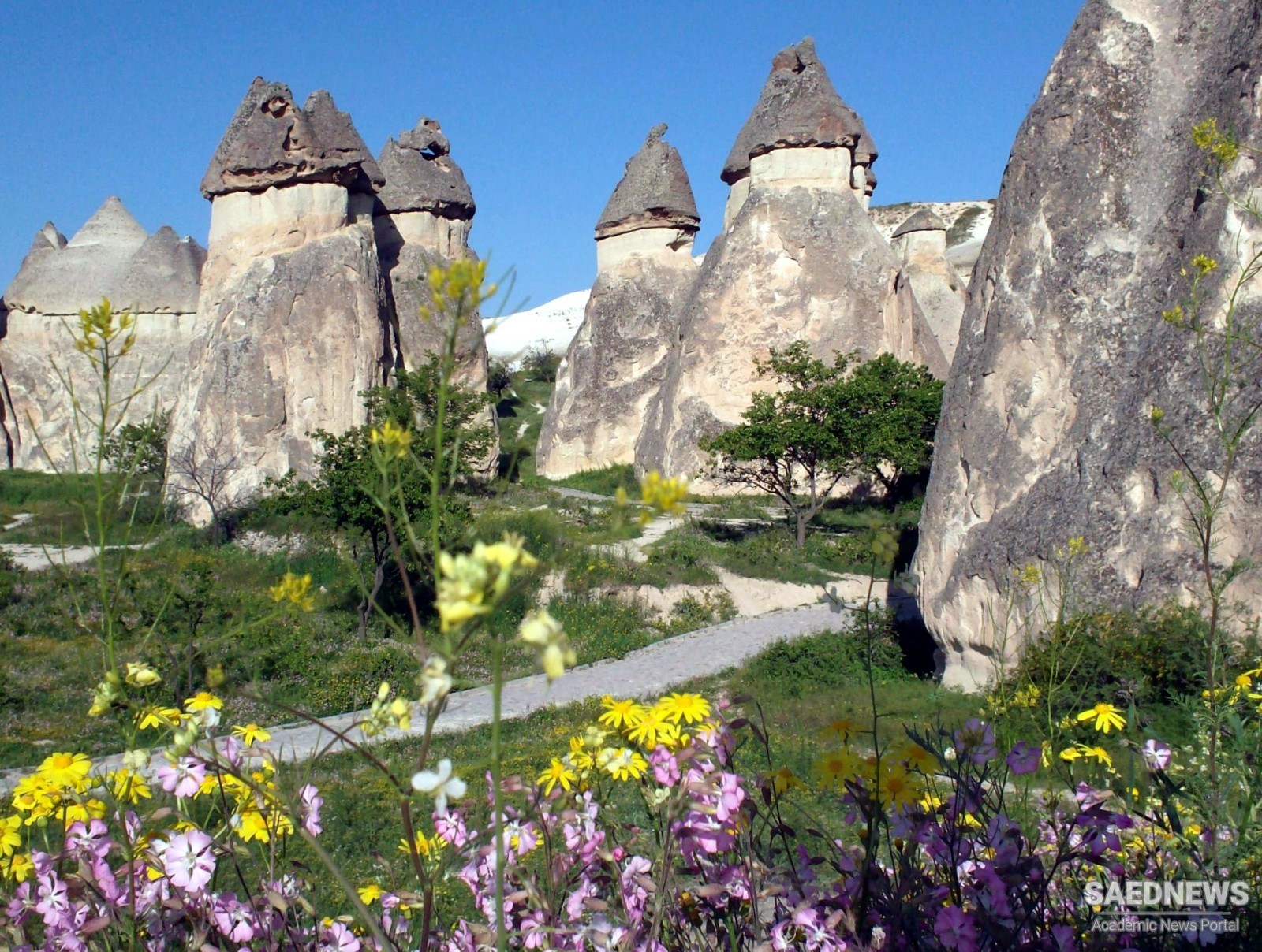
It lies 50 km from the snow-covered volcanic peak of Erciyas Dag which erupted two million years ago but is now almost dormant although occasional earthquakes create cracks in the easily eroded tuff. Eruptions in the late Miocene to Pliocene of the Erciyas Dag (3,917m), Hasan Dag (3.268m) and Akdag (1,325m) volcanoes covered an area of about 11,000 sq. km with layers of 400m-thick pyroclastic ignimbrite, which solidified into a grey, buff-yellow and pinkish andesitic tuff.
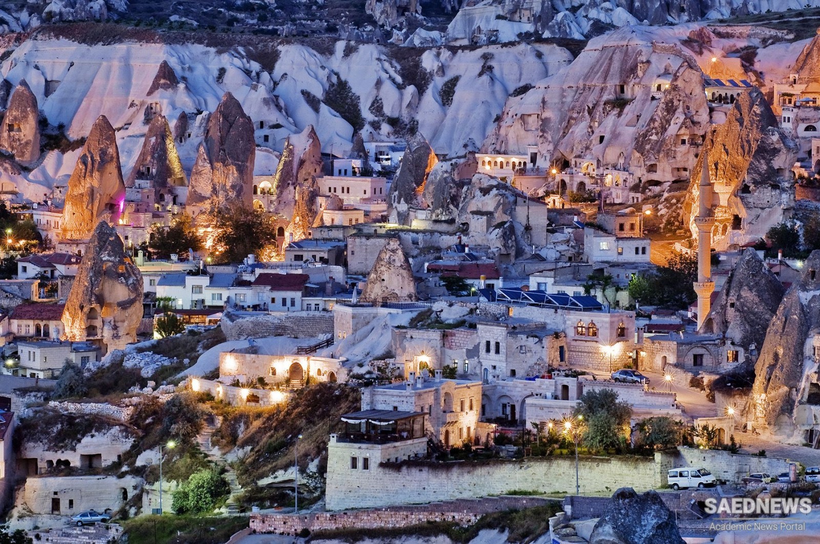
These layers were later covered by layers of dark-toned andesitic and basaltic lavas in the late Pliocene and early Pleistocene 2 to 1 million years ago. This deep soft homogenous underlying layer of tuff was weathered by wind, water and temperature change into a spectacular landscape of smooth cones capped by a layer of lava. Typical shapes are pinnacles, pillars, columns and towers, mushrooms and cones, obelisks and needles, sometimes 40m high, each under its protective topknot of basalt (G. Drucker, pers. obs., 1985). These fantastic sculptures have been further pockmarked and honeycombed by warrens of man-made caves, living quarters and underground churches of which there are hundreds in central Cappadocia. The valley floors between the steep eroded slopes and badlands are fertile farmland.
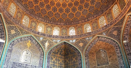
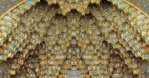
This area has been inhabited since Hittite times when the first caves were excavated and both then, and under Assyrian and Roman rule the nearby town now called Kayseri was an important provincial centre (Caesaria Mazaca). Being on the boundary between the ancient Greek and Persian empires, and later between the Byzantine Greeks and their Persian, Ummayad, Abbasid, Seljuk and Ottoman adversaries, hidden sanctuaries were often needed which the rugged landscape and easily carved rock of central Cappadocia provided underground. The area was initially a sanctuary for Christian anchorites fleeing Roman persecution which became a monastic community in the 4th century. For the next nine centuries, an urbanised landscape developed which from the cliffs and spectacular pillars – or ‘fairy chimneys’ - of tuff, carved living quarters, stables, storerooms and places of worship.
At nearby Kaykmakli and Derinkuyu a network of deep caves and tunnels in the rock was excavated to form underground refuges for hundreds of people which were expanded during the first hostile invasions in the 7th century, to entire multi-storey underground communities. The fresco painting in the chapels which began in the 7th century by monks too remote to be much affected by Iconoclasm are colorful rare testimony to the civilization of a province of the Byzantine Empire which persisted even into Ottoman times but, except for these remnants, has since disappeared. Excellent examples of post-Iconoclastic sacred art have been preserved by the dark and dry conditions underground, and several have been carefully restored. There are many other similar classified monuments in the valley outside the Park (G.Drucker, pers. obs., 1985) and in the surrounding countryside.
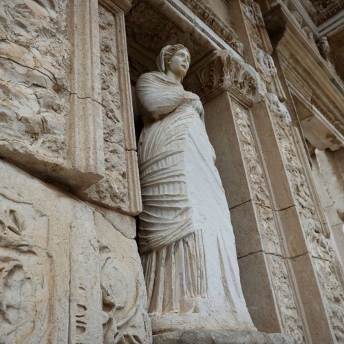 Ephesus: Marvel of the ancient world in western Turkey