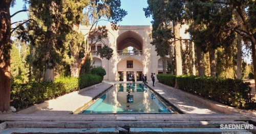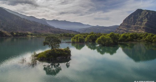
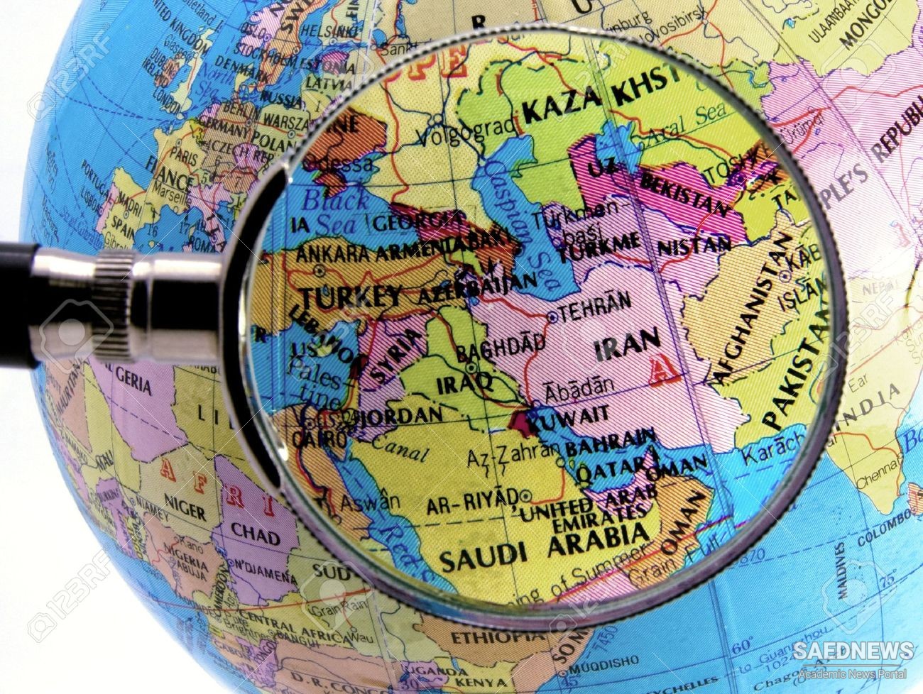
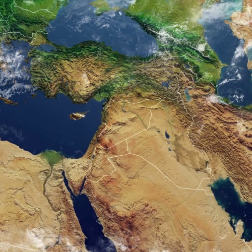
Iran is not only a surface crossroads but sits atop the subterranean intersection of the giant Arabian, Eurasian, and Indian plates, which have formed and still influence the region by their uplifting and folding effect on the earth’s crust. The pressure between these gigantic plates created the major mountain ranges that virtually surround the country and make Iran a major earthquake zone. The high mountains, in turn, aff ect weather patt erns by blocking moist air’s passage into the interior, making Iran a country of extremes in precipitation, temperatures, and topography. If Iran were superimposed over a map of North America, it would extend north to south from Reno, Nevada, to Monterey, Mexico, and west to east from San Diego, California, to Amarillo, Texas. In fact, the terrain, climate, and latitude of Iran bear considerable resemblance to corresponding features of the American southwest and northwestern Mexico. Iran, however, is much more arid with more extremely hot and barren areas, especially in its central and eastern deserts. The country also is marked by large swamps and marshlands in the southwest, dense subtropical forests in the Caspian region, and nearly two thousand miles of mostly rugged coastline. Iran has only one partially navigable river, the Karun, which fl ows into the confluence of the Tigris and Euphrates rivers to form the Shatt al- Arab waterway (called the Arvand Rud by the Iranians), which divides southwestern Iran and Iraq. The country’s one major interior body of water, Lake Urmia in northwestern Iran, is larger and saltier than Utah’s Great Salt Lake. The most noticeable impact of geography on Iran’s military history has been the limited role of sea power, despite long coasts on the Caspian Sea, Persian Gulf, and Indian Ocean. Nearly all of Iran’s Persian Gulf coast is cut off by mountains from the plateau’s high plains, and the Iranians for most of their history seemed uninterested in developing naval skills. In addition, the Karun River is navigable only by shallow craft and then only until rapids north of Ahvaz (Source: A Military History of Iran).
 Geopolitical Status of Iran and Its Impact on Iranian Military Activity